YOUR CONSTRUCTION TECHNOLOGY PROVIDER

Solutions

Construction Surveying

SITECH Tejas | Solutions | Construction Surveying

Trimble Construction Surveying

Tough, accurate and connected site positioning from the field, to your office, and farbeyond the line of sight.

For a full list of Trimble Site Positioning Solutions, please visit the Trimble Civil Engineering and Construction website.

» VISIT SITE
» DOWNLOAD DATA SHEET

Trimble offers several models of GPS and GNSS antennas to suit your specific application, signal tracking and budget requirements.

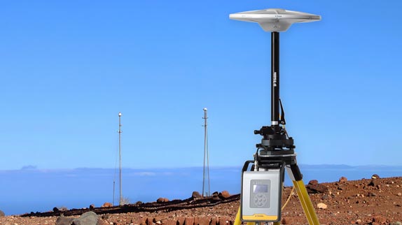
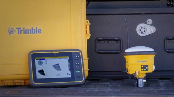
Your GNSS operations are only as good as your correction source, it’s important to choose the right one for your business

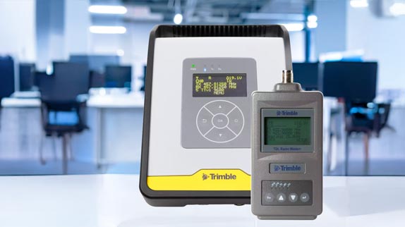
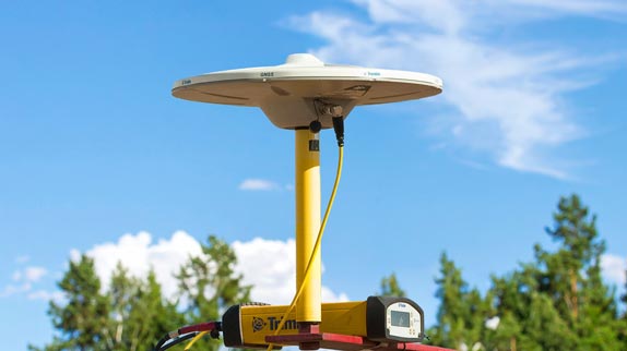
Trimble radios offer flexible configuration options and rugged reliability for efficient use of GNSS on the construction site.

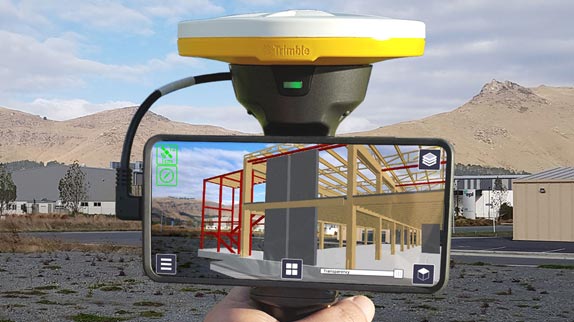
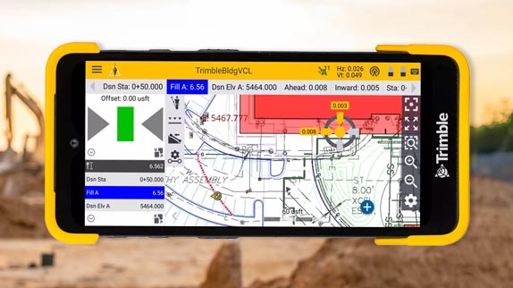
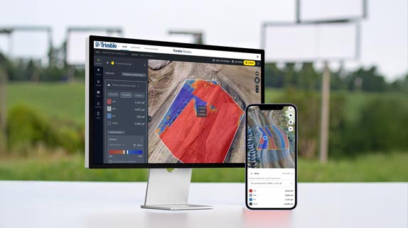
Connect construction project workflows from design to construction, allowing data to flow seamlessly and providing a single source of truth from office-to-field.

Precise positioning on a budget. The R580 GNSS Smart Antenna features proven Trimble quality and accuracy priced for a faster return on investment.

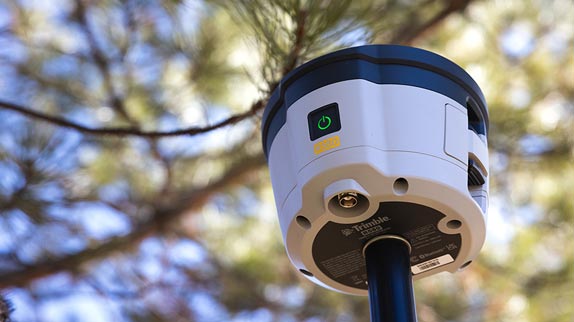
Tougher than Tough Enough. The R780 GNSS Smart Antenna is precise, reliable and versatile. From surveying to machine guidance, the R780 does it all.

A user-friendly outdoor augmented reality system used for communicating new designs and changes to field crews, inspections, determining productivity and calculating quick measurements on site including points, lines and cut/fill values.
Trimble Siteworks Positioning Systems are designed to eliminate downtime by making every minute more productive. Handle complex files and 3D data sets quickly, so you can spot issues and solve problems before they slow you down.
Keep it accurate, but keep it simple. The SPS620 and SPS720 are perfect for one-person operation on smaller site operations and work on structures such as bridges or culverts, offering very high accuracy and reliability for construction site positioning, stakeout and measurement.
Nothing else comes close. Trimble Universal Total Stations lead the industry in accuracy, range and reliability for fine grading, paving, stockpile scanning and site measurements.
The SX12 combines a total station and scanner into one superior instrument. Get everything you need from a robotic total station, along with high-end 3D laser scanning and imagery.
The easy-to-use Trimble TDC6 Handheld Data Collector allows contractors to work with more complex 3D data sets more effectively in the field, connect to the office for on-the-spot approvals and communicate changes to field crews.
Dependable, modern, next‑generation survey controllers that enable you and your team to get the job done efficiently and accurately, every day, all day.
With Trimble Stratus Software, you can use drone data to map, measure, and manage your worksite and assets. Connect the right information to the right people at the right time.
Connect your office to the field with a Trimble tablet, rugged and fully connected field computer for construction measurements and site positioning. Brains and brawn. What could be better?